[
Homepage ] [
Introduction ] [
Warning ] [
Ratings
] [ Ethics ] [
Feedback ] [
Updates ]
 |
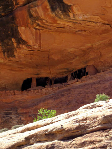
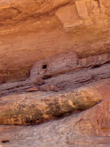
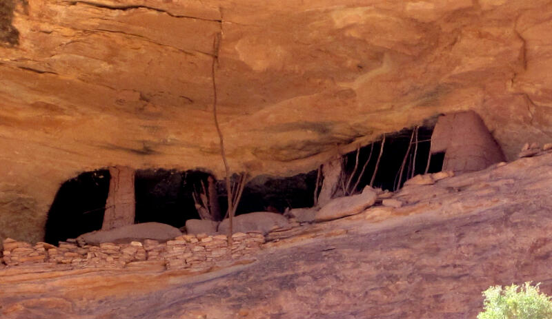
Pollys Canyon
Anasazi Ruins
Cedar Mesa
Hiking
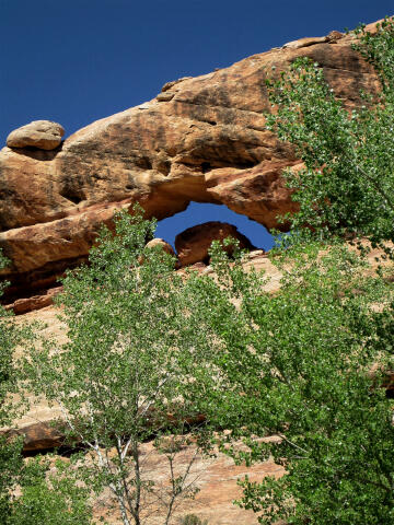
Pollys
Canyon is an interesting loop hike that visits a tributary of Grand
Gulch that does not see a lot of traffic. The route visits one of the
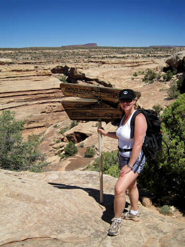
better and larger Anasazi Ruins in the Grand Gulch system. The route uses the hiker friendly "Government Trail" to access Grand
Gulch. The Government Trail is often used by backpackers and hikers to
explore ruins and rock art in Grand Gulch.
Please take only pictures and leave only footprints. |
Circle of Friends:
Pollys
Canyon is part of the "Circle of Friends"
program. Members of the "Circle of Friends"
have access to more specific information, explicit route information, GPS waypoints,
trailhead location and detailed maps. If you
would like more information on joining the "Circle of Friends" visit the sign
up page.
"Circle of Friends"
General Information:
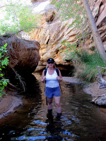
Pollys Canyon is a
nice hike suitable for intermediate and advanced hikers. Pollys Canyon is
rated 2A III using the Canyon Rating System. A GPS is extremely useful in
verifying you are on the correct route and in locating specific ruins. A
BLM
Backcountry Permit is required to hike Pollys Canyon.
Trailhead Information:
The trailhead is
usually accessible to all vehicles in good weather.
Big Man Pictograph
Panel:
A visit to the
Big Man
Pictograph Panel can be combined with the Pollys Canyon loop hike. Big Man
is one of the larger and better panels of rock art in Grand Gulch.
[
Homepage
] [ Introduction ] [
Warning ] [
Ratings ] [
Ethics
] [ Feedback ] [
Updates ]
© Copyright
2000-, Climb-Utah.com |