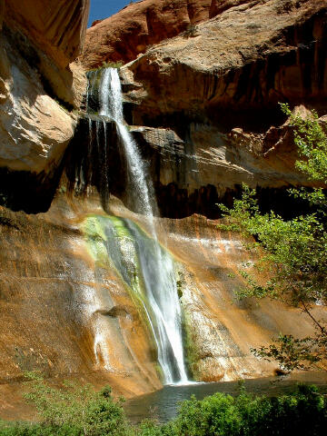
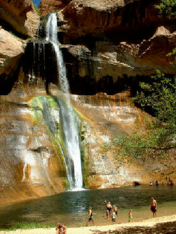
 Lower Calf
Creek Falls is a nice stroll to a brilliant desert waterfall. The trail is 3 miles
one-way and will require approximately 1 1/2 hours to hike one-way. Bring a swimming
suit or clothes you can swim in for an enjoyable plunge into the crystal clear waters at
the base of the falls. The only difficulty is hot summer days. Photographers
will want to visit the waterfall in the morning while it is in the sunlight. Lower Calf
Creek Falls is a nice stroll to a brilliant desert waterfall. The trail is 3 miles
one-way and will require approximately 1 1/2 hours to hike one-way. Bring a swimming
suit or clothes you can swim in for an enjoyable plunge into the crystal clear waters at
the base of the falls. The only difficulty is hot summer days. Photographers
will want to visit the waterfall in the morning while it is in the sunlight.Pick-up a trail guide at the trailhead register and participate in the informative self guided tour. The trail guide will help you spot two granaries that were constructed by Native Americans approximately 900 years ago, along with a nice panel of pictographs. The Fremont and Anasazi Indians once inhabited the canyon. This route is suggested for nearly everyone. Navigation for this adventure is very easy along a maintained and signed trail. The USGS 7.5' Map titled "Calf Creek" is where you will find the information for this hike. However, a USGS map is probably not required for this hike. Lower Calf Creek Falls is rated 1A II using the Canyon Rating System.
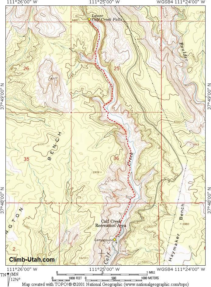
From Boulder, Utah follow Highway 12 southwest for 11.4 miles to the prominently sign Calf Creek Recreation Area. From Escalante, Utah follow Highway 12 northeast for 14.4 miles to the prominently sign Calf Creek Recreation Area. From the sign on Highway 12 follow the paved spur road 200 yards to the day-use parking area and trailhead (N37° 47' 38", W111° 24' 54"). The trailhead contains an information kiosk and a modern restroom. A small fee is required to park in the day use area and is payable at the information kiosk. The day-use fee is $5.00 (current as of 2016). Camping is available at the trailhead. The BLM maintained campground contains 13 sites available on a first come first served bases. The over-night camping fee is $15.00 per night (current as of 2016).
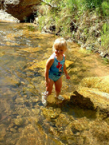
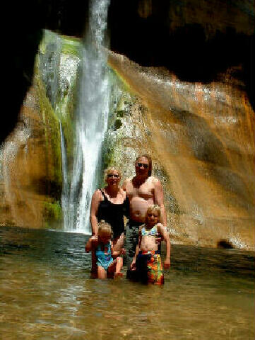
From the trailhead follow the signs through the campground to the Calf Creek Falls trail. Just after the trail leaves the paved road there will be a trail register on your left. Sign in and be sure to pick up a trail guide to enjoy the interpretive stops along the way to the falls. The hike is generally flat and sunny as it follows the creek. The path contains long stretches of deep sand, which will slow your pace. The trail guide indicates points of interest including two granaries and a very nice pictograph panel made by Fremont Indians approximately 900 years ago. After 3 miles and about 1 1/2 hours you will reach Lower Calf Creek Falls (N37° 49' 45", W111° 25' 12"). The Waterfall cascades down a sandstone cliff into a large pool, which is often used for swimming during the summer. Return the way that you came. Video: © Copyright 2000-, Climb-Utah.com |