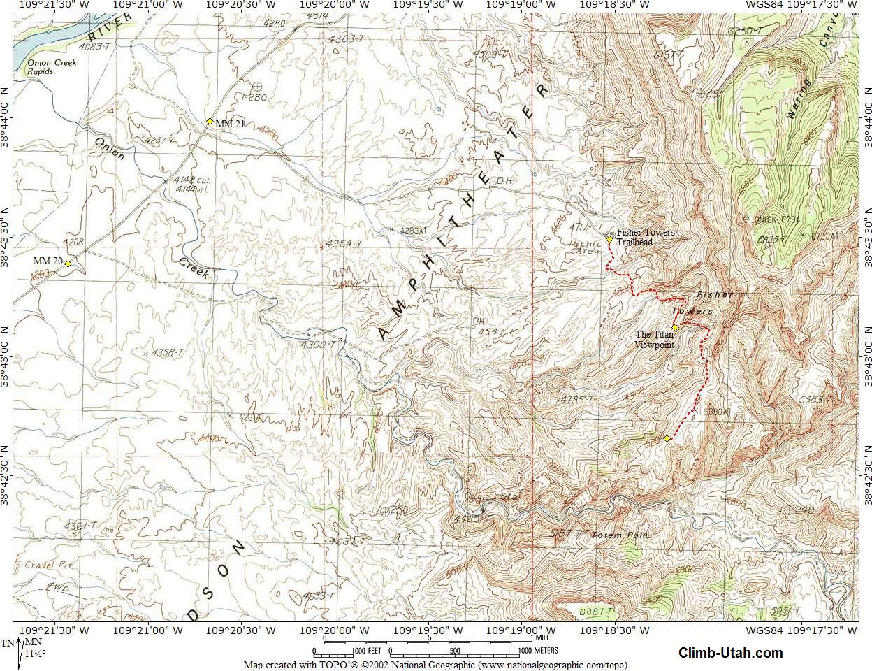
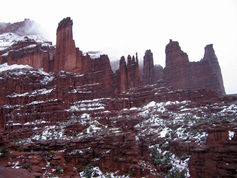
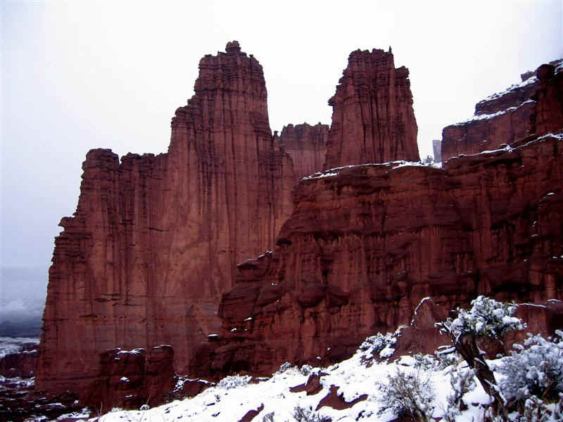
General Information: This trail has a western exposure and can be brutally hot on summer afternoons. During hot weather an early morning hike is recommended. Every member of your hiking party should carry at least one liter of water. This hike is easily accessible year round. Navigation for this hike is easy. The route is well marked. A GPS is over kill but I have included the important waypoints for the gizmo junkies. The USGS 7.5' Map titled "Fisher Towers" covers this hike. You should have no problems completing this hike using only common sense. This route is rated 1A II using the Canyon Rating System. You will occasionally see rock climbers scaling the walls of the many towers. When hiking below rock climbers caution should be used to avoid rock fall. The tallest tower, the 900-foot Titan was first climber in 1962 by a team of three men from Colorado. The climb was sponsored by the National Geographic Society.
Drive north out of Moab on Highway 191 approximately 2 miles to the junction with Highway 128. Drive east on Highway 128, along the Colorado River, for 21 miles to a well maintained gravel road on the south (right) side of Highway 128 that is signed "Fisher Towers". The Fisher Towers Road is only a few yards from mile marker 21. Follow the well maintained gravel road south for 2.2 miles to the Fisher Towers Trailhead and picnic area.
Route
Information: From the viewpoint the trail continues along the base of the The Titan to a sandstone gully where a ladder is provided to defeat the most difficult obstruction on the trail. After the gully the trail veers southwest onto a long ridge. The trail ends 2.3 miles from the trailhead atop a big mushroom (N38° 42' 39", W109° 18' 14"), with widespread views of the region.
Campground
Information:
Video: © Copyright 2000-, Climb-Utah.com |