[ Homepage ] [ Introduction ] [ Warning ] [ Ratings ] [ Ethics ] [ Feedback ] [ Updates ]
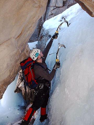
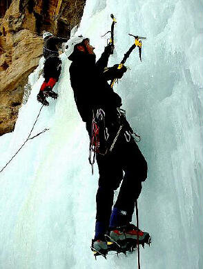
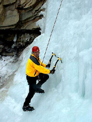
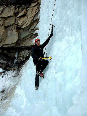
 General Information: General Information:One experience I can pass along to you is during my first big fall while ice climbing the one thought that kept running through my head was "I sure am happy that I have all these razor blades strapped to my body". Fortunately, a crampon slice in my Gore-tex pants was the only casualty. The biggest fear an ice climber has is that their significant other will discover exactly how much money was spent on gear. Ice climbing is a sport that requires some expensive gear, so bring your VISA. You will require plastic boots, crampons, ice axes, ice screws and a weatherproof shell. This is in addition to much of the normal gear carried by a rock climber. Ice climbing takes place below freezing, sometimes well below, so dress accordingly. The ice climbing season in Joe's Valley is long by Utah standards and generally runs from mid November through late March. The sport of ice climbing is a challenge to rate because conditions can change by the hour, the day, and certainly by the year. When ice climbing, it is extremely important that you know how to read the ice because your safety depends on it. If you are interested in learning this sport it is probably best to find someone or hire a guide who knows what they are doing to take you out the first few times. Make sure that the "more experienced" people you go out with are experienced enough to know what they are doing. Ice has hazards like pillars and curtains collapsing that require knowledge to evaluate.
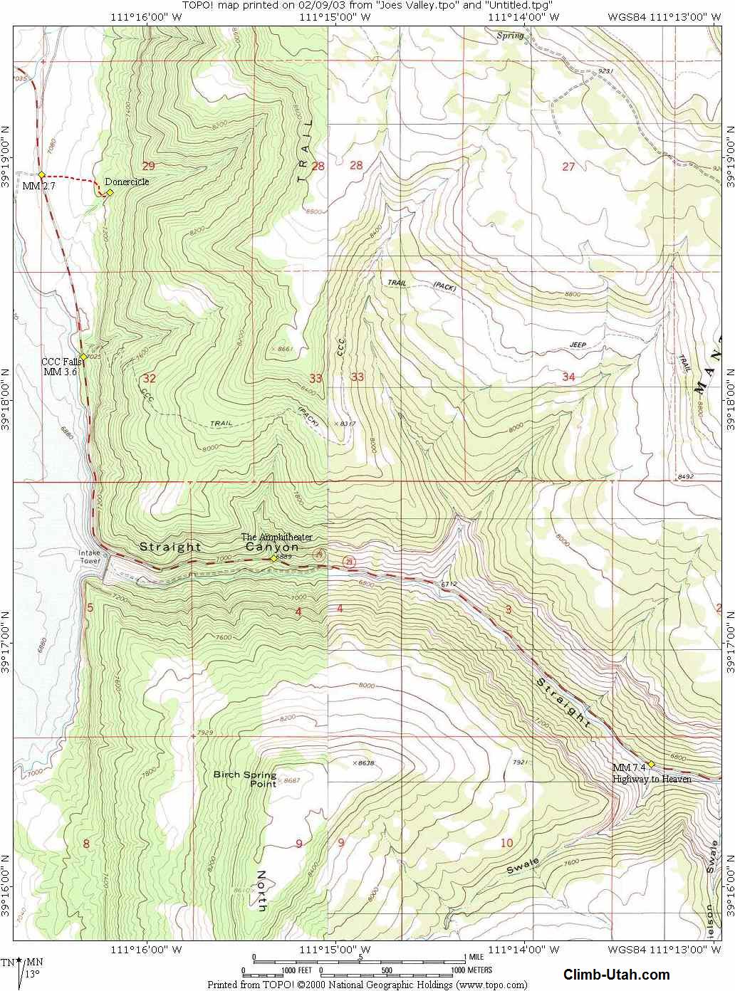
From Price, Utah travel south on State Road 10 for 22 miles to Huntington Utah. From Huntington continue south on State Road 10 for 6 miles to a sign on your right pointing the way to Joe's Valley and State Road 29. Follow State Road 29 east for 4 miles until it Tee's. Turn north (right) at the Tee and continue following State Road 29 east as is climbs it's way up Straight Canyon. The mileage markers along State Road 29 should be decreasing in value as you drive up Straight Canyon. All trailhead locations will be given in relation to the mileage markers along State Road 29.
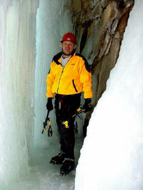
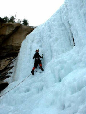
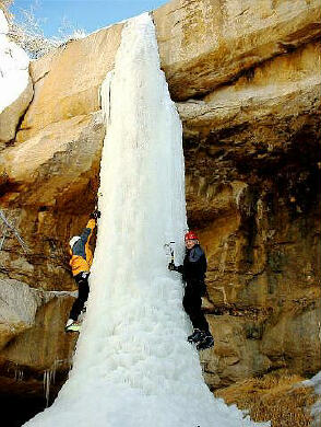
Route information: Highway to Heaven The route begins at the dirt road turnoff at mile marker 2.7 (N39° 18' 56", W111° 16' 34"). Usually you must hike east up the snowy or muddy road less than 1/2 mile to a small canyon hidden behind some large trees. The canyon is shown on the USGS 7.5' Map titled "Joe's Valley Reservoir", but the dirt road is not noted and the canyon is unnamed. The climb is in the obvious canyon just north of the Sportsman's lodge. The climb is located at (N39° 18' 51", W111° 16' 12") and consists of a a large 140-foot cone. It is possible to hike up the left of the climb and top rope it from some fixed anchors. This is one of the more popular climbs in the area and is often crowed on weekends.
Related Link: Joe's Valley Ice Climbing Video [ Homepage ] [ Introduction ] [ Warning ] [ Ratings ] [ Ethics ] [ Feedback ] [ Updates ] © Copyright 2003-, Climb-Utah.com |