[ Homepage
] [ Introduction ] [ Warning ] [ Ratings
] [ Ethics ] [ Feedback ] [ Updates
]
 |
Kings Peak
13,528'
Uinta Mountains
Hiking & Backpacking
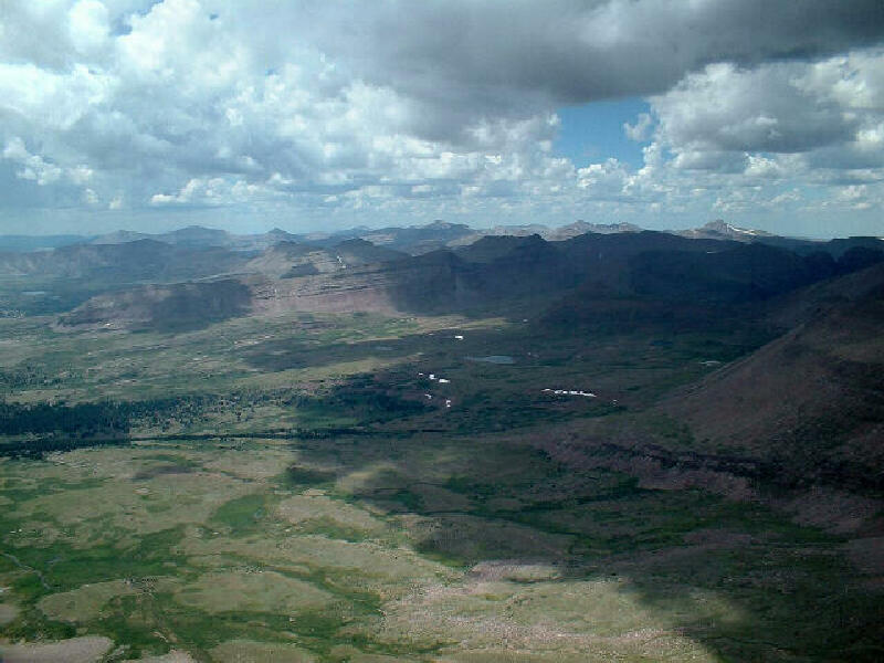
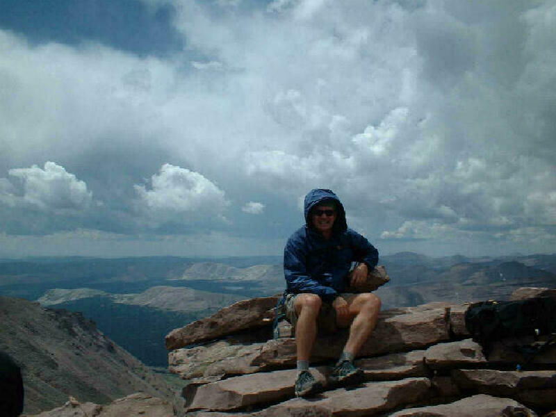
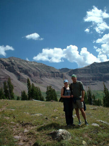
At a staggering 13,528' Kings Peak is the highest point in Utah. This fact
makes the hike extremely popular. The view from the top is amazing. The remote mountain is
surrounded by wilderness area. Ascent of the mountain is not technically difficult, but it
does involve a hike of over 30 miles at altitude. An ascent generally requires two or
three days.
The mountain
was named after the 1860's explorer-surveyor Clarence King, the first director of the
United States Geological Survey. |
Circle of Friends:
Kings
Peak is part of the "Circle of Friends"
program. Members of the "Circle of Friends"
have access to more specific information, explicit route information, GPS waypoints,
trailhead location and detailed maps. If
you would like more information on joining the "Circle of
Friends" visit the sign up page.
"Circle of Friends"
General Information:
Kings Peak is the
highest point in Utah and is one of the most popular summits to bag. The hike to the
summit can be completed in one extremely long day but 2 or 3 days is the more popular
method. The route is 15 miles each way using the most direct route and will require
somewhere between 14 to 20 hours total hiking time. The route can easily be lengthen to
visit more remote areas and secluded lakes.
The route
contains no real obstacles. Hikers in good physical condition and using common sense
should have little problem with this route. The Kings Peak hike is rated 2 V using the
Yosemite Decimal System. Navigation for this route is easy. A GPS is useful in identifying
waypoints and verifying your location. Good map reading skills are helpful.
Clarence King:
Kings Peak is named after Clarence
King who explored and surveyed a 100 mile wide swath along the 40th parallel from the
120th meridian to the 105th. This was the proposed route of the transcontinental railroad.
The U.S. Army sponsored the expedition, although the only military connection was the use
of military posts, supplies and escorts. King was a Yale-trained scientist.
King began the survey in 1867 when
he was 25 years old. The survey lasted until 1873. During the survey King was struck by
lightning and survived. The King survey brought western exploration into the realm of
academic science. In 1879, King was named the first director of the U.S. Geological
Survey.
Route Information:
Detailed route information supplied to Members of the Circle of Friends includes the "Short Cut" and the
optional "West Side Loop".
Fishing:
Fish found in the Uintas
include arctic grayling, brook trout, brown trout, cutthroat trout, golden trout and
rainbow trout. A Utah State Fishing License is required to fish in the Uintas.
Trailhead
Information:
This trailhead is
accessible year round to all vehicles.
[ Homepage ] [ Introduction ] [ Warning
] [ Ratings ] [ Ethics ] [ Feedback
] [ Updates ]
© Copyright
2000-, Climb-Utah.com |