[ Homepage ] [ Introduction ] [ Warning ] [ Ratings ] [ Ethics ] [ Feedback ] [ Updates ]
Long Lake Loop is part of the "Circle of Friends" program. Members of the "Circle of Friends" have access to more specific information, explicit route information, GPS waypoints, trailhead location and detailed maps. If you would like more information on joining the "Circle of Friends" visit the sign up page. "Circle of Friends"
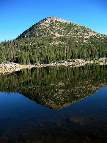
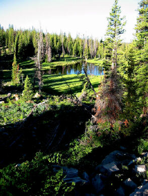
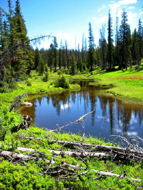
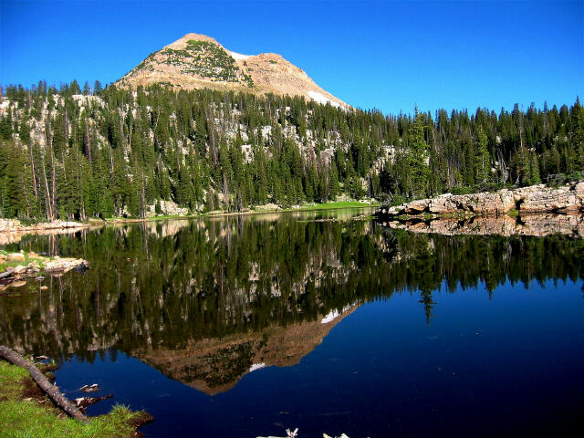
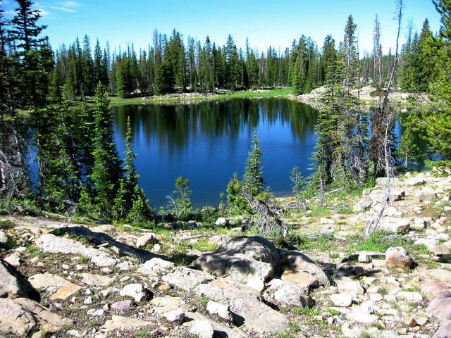
The Long Lake Loop hike is an adventure the entire family can enjoy. The route visits a large variety of lakes, meadows and streams. The Long Lake area offers a great introduction to overnight backpacking and with adult supervision is a very child friendly region. The basic loop hike can be completed in 4 to 5 hours. Exploring all the spur trails to the various lakes will require an additional 1 to 2 hours. A vehicle shuttle is not required for this loop route. All hikers in your party should carry a minimum of one liter of water. Water is plentiful in this area, but all water taken from lakes and streams should be filtered before drinking. The route contains no real obstacles. Experienced and intermediate hikers will have no problems with this route. Novice hikers will need to pay attention to their map and route description. Long Lake Loop is rated 1 III using the Yosemite Decimal System. Navigation for this route is easy. A GPS is useful in identifying waypoints and verifying your location. Good map reading skills are helpful. It should be noted that due to new trail construction and trail realignment the USGS maps are not accurate in relation to trail location. The trails are correctly located on the map provided.
Fishing: Trailhead
Information:
Related Link: [ Homepage ] [ Introduction ] [ Warning ] [ Ratings ] [ Ethics ] [ Feedback ] [ Updates ] © Copyright 2000-, Climb-Utah.com |