[ Homepage
] [ Introduction ] [ Warning ] [ Ratings
] [ Ethics ] [ Feedback ] [ Updates
]
 |
Gravel
Canyon
Cedar Mesa
Technical
Canyoneering
The Narrows
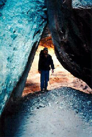
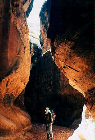
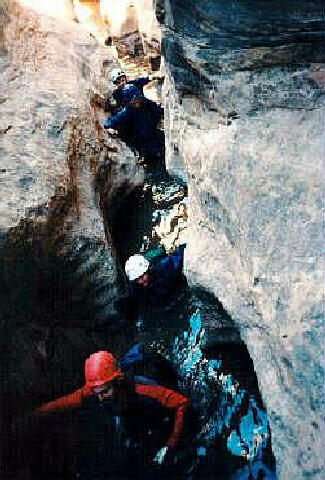
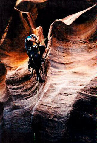
of Gravel Canyon are a fun adventure into a remote wilderness. The route snakes through a
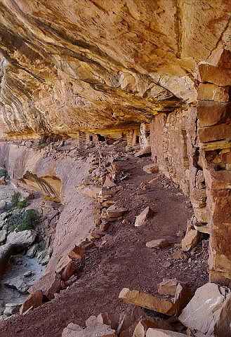
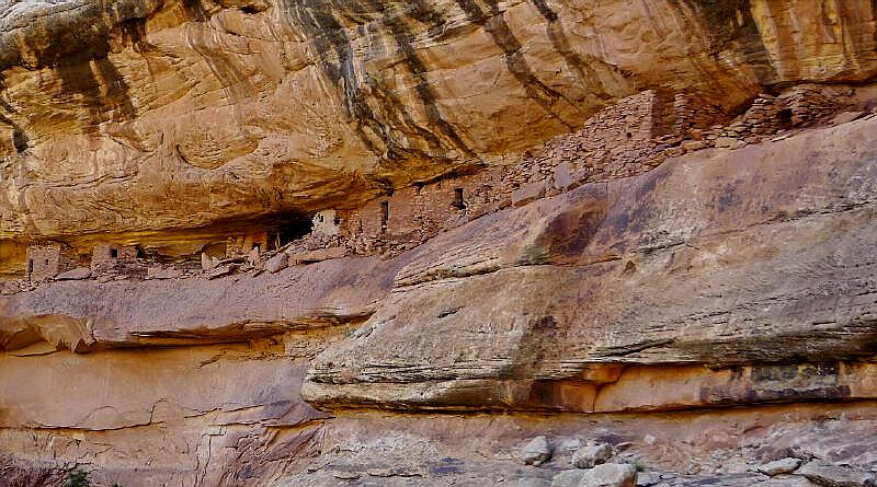
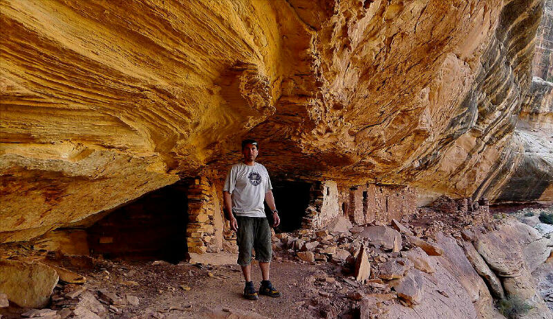
long section of beautifully sculpted narrows and ends with a great view of some well
preserved Anasazi cliff dwellings. |
Circle of Friends:
Gravel
Canyon is part of the "Circle of Friends"
program. Members of the "Circle of Friends"
have access to more specific information, explicit route information, GPS waypoints,
trailhead location and detailed maps. If you
would like more information on joining the "Circle of Friends" visit the sign
up page.
"Circle of Friends"
General Information:
Gravel
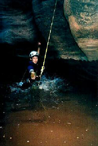
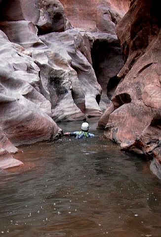
Canyon is a technical canyoneering adventure that requires complete technical gear. The technical portion of the
canyon consists of several swims, wading, rappels and plenty of fun. This is not a
difficult route for a technical canyon, but solid skills are required. Gravel Canyon is
rated 3B III using the Canyon Rating System.
A GPS is extremely useful. Good map reading skills are
essential. Navigation for this route is difficult and requires several miles of route
finding across open desert. This canyon has a high flash flood danger. Check the
local weather report before entering this canyon.
Trailhead Information:
A high clearance vehicle is
required for accessing this trailhead. The road is suitable for two wheel drives during
normal conditions. A vehicle shuttle is not required for this route.
The Soldier's Grave:
In 1884 several cowboys got into a
dispute with some Paiute Indians concerning the ownership of a horse. The cowboys called
in the U.S. Cavalry to help them with the dispute. A chase ensued during which the Paiutes
ambushed the soldiers and killed two of them. The Soldiers are buried at the marked grave
just off highway 95. The Paiutes were never captured.
Cliff Dwellings:
This route includes a short visit
to several Anasazi cliff dwellings. Please take only pictures and leave only footprints.
Cryptobiotic Soil:
This route crosses large areas of
cryptobiotic soil. Please avoid disturbing all cryptobiotic crust. Stay on existing
trails, walk in wash bottoms or on slickrock. Go out of your way, literally, to avoid
cryptobiotic soil. Cryptobiotic crust requires five to ten years of undisturbed growth
before it even becomes visible as an irregular, blackish mat on the soil surface. A single
footprint by a careless hiker can destroy decades of growth.
[ Homepage
] [ Introduction ] [ Warning ] [ Ratings
] [ Ethics ] [ Feedback ] [ Updates
]
© Copyright
2000-, Climb-Utah.com |

