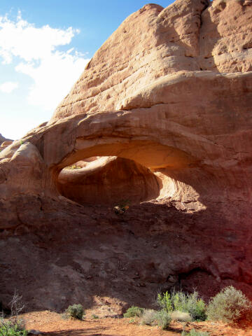
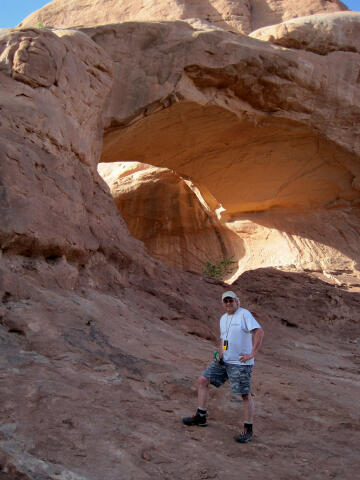
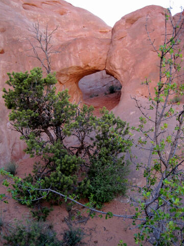
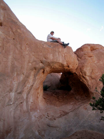
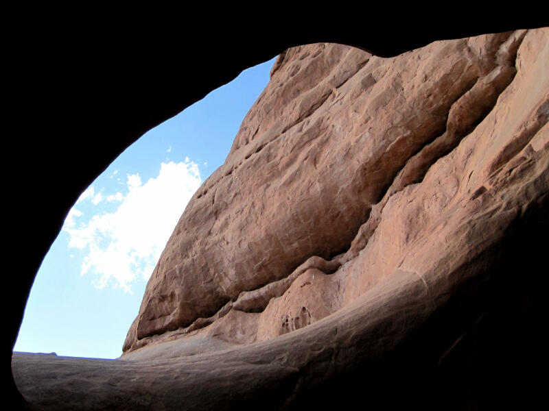
General Information: Navigation for visiting the area is easy. A GPS is useful in locating the arches. Good map reading skills and the USGS 7.5' Map titled "Cisco SW" are essential. All waypoints and maps use the WGS84 datum. The best primitive campsite in the area is located at the base of La Boca Arch, but the site requires a four wheel drive to access. Primitive slickrock camping (N38° 47' 38", W109° 25' 22") with excellent access to the Entrada rock formations and accessible to all vehicles is available 1/2 mile before the final turn-off to La Boca Arch. Arch hunters will be happy to note that this trip combines well with a visit to Covert Arch.
Trailhead Information: From Green River, Utah: Travel east for 18 miles to Crescent Junction (where I-70 meets Highway 191). From Moab, Utah: Travel north on Highway 191 for 30 miles to Crescent Junction (where I-70 meets Highway 191). From Crescent Junction: Follow I-70 east for 11 miles to Exit 193 (N38° 56' 32", W109° 36' 53"), signed Yellow Cat. Exit I-70 and turn south. Follow the graded Yellow Cat Road southeast for 6.2 miles to a fork (N38° 52' 04", W109° 33' 00"). Take the east (left) fork. Continue following the road for 2.1 miles to the Yellow Cat Mine Ruins (N38° 50' 53", W109° 31' 42"). The ruins are located on the east side of the road. From The Yellow Cat Mine Ruins follow the road east for 1.0 mile to a fork (N38° 51' 01", W109° 30' 38"). Take the south (right) fork and follow the road 2.6 miles to a fork (N38° 49' 27", W109° 29' 48"). Take the east (left) fork and follow the road 3.1 miles to a junction (N38° 48' 31", W109° 26' 53"). Take the south (right) fork and follow the road 2.5 miles to a junction with several roads (N38° 47' 12", W109° 25' 04"). Carefully driven passenger vehicles and high clearance vehicles can normally reach this junction without problems; beyond this point the road becomes a serious 4x4 track. From the junction you want to locate the track that leads east, through the fence, and immediately heads due north. Follow the track north to the base of La Boca Arch (N38° 47' 27", W109° 25' 05"). This is also the trailhead to Harold's Arch.
Route Information:
La Boca Arch Statistics: Harold's Arch Statistics:
© Copyright 2000-, Climb-Utah.com |
