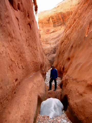
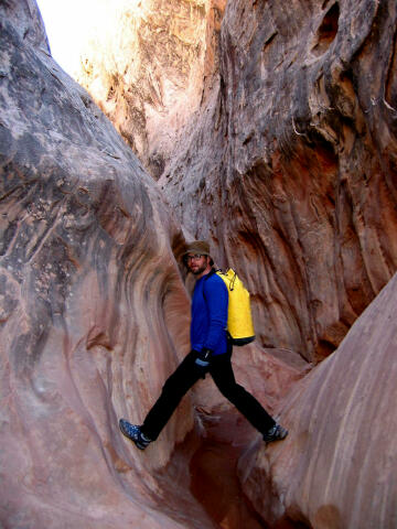
 Carry plenty of drinking water as this is a desert environment. You will be hiking much of the day in flowing water, but it's easier to carry what you need rather then dealing with the hassle of pumping drinkable water. Much of the route contains ankle deep wading with a couple sections of possible knee to waist deep wading. In past years the canyon has contained one very short swim, but at last report that section of canyon has filled with sand. As with all slot canyons the mentioned conditions can easily change with the next big storm. A GPS is useful. Good map reading skills and the USGS 7.5' Map titled "Black Table" are essential. Navigation for this route is moderate. All waypoints and maps for Lower Maidenwater use the WGS84 datum. This canyon has a moderate flash flood danger. Check the local weather report before committing. Technical
Variations:
Maidenwater
Trailhead: There is also abundant parking at the Trail Canyon Trailhead where you will finish your hike. The Trail Canyon Trailhead is located 0.5 miles further south on State Road 276. There is a large pull-out on the west side of the road just south of the drainage. This is the Trail Canyon Trailhead. You could leave a shuttle vehicle here but it's really not worth the effort as it only shaves off 1/2 mile of hiking.
Lower
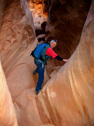
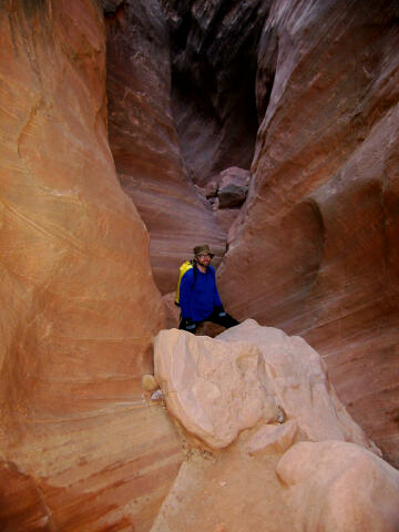
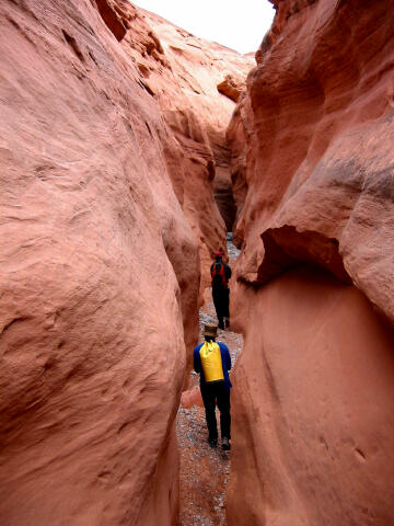
Maidenwater Route Information: After inspecting the bridge from below begin hiking downstream. The good stuff begins right from the start so enjoy the show. After a short distance you will begin hiking in water as the lower sections of canyon are spring fed. Explore the side slots and surrounding area as time and your desire allow. After hiking down Maidenwater for 3 miles you will encounter Trachyte Creek (N37° 53' 40", W110° 31' 44"). At the junction with Trachyte Creek turn south and follow Trachyte Creek downstream. Trachyte Creek has year round running water. After hiking down Trachyte Creek for 1/2 mile you will encounter a junction with Trail Canyon (N37° 53' 21", W110° 31' 29") entering from the west (right). Turn west and begin hiking up Trail Canyon. The hike up Trail Canyon is not nearly as interesting as Maidenwater Canyon. You will hike up Trail Canyon for 2 1/2 miles before intersecting the highway (N37° 53' 17", W110° 34' 04"). After reaching the highway it's an easy 1/2 mile hike north along the highway back to where you began.
Video: Please take only pictures and leave only footprints. © Copyright 2000-, Climb-Utah.com |
